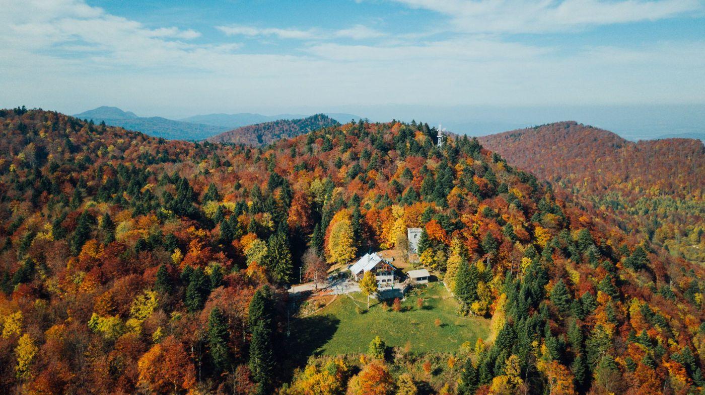
Mirna gora is one of the eights highest peaks in Bela krajina (1047 m) and one of the south easternmost risings of the vast Kočevski rog mountain chain. Mirna gora and Planina are a perfect starting point for other hiking paths:
(1) Planina – Mirna gora Forest Learning Path
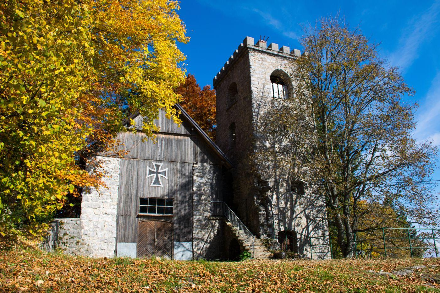
The circular forest route leads across the southern slope of Mirna gora and up to its summit. The experience of travelling on the route accentuates the rich forest fauna and flora and draws attention to various tree and shrub species. In addition, the forest road emphasizes the importance of the forest in water preservation and game management. The forestry lodge has an information room. Displayed in the vicinity of the lodge are old forestry tools, an old forest railway waggon, a charcoal pit and a lime kiln.
(2) Along the Trail of the Forest Railway Črnomelj – Leseni kamen
Let’s take a walk along a well-marked trail of the former forest railways. Here you can find many rare trees that have never been touched by a human hand. You can also watch the trails left by the railway, but they are well hidden in many places.
(3) The Shepherd’s Path
This was once the shepherd’s path around Mirna gora, which crosses vast mown grassland in the vicinity of the ruins of the Kočevar settlements Ponikve and Škrilj and overgrown areas that bear witness to the former image of the cultural region.
(4) Mirna gora is also a part of the Trdinova Path
Mirna gora is also included in the Trdinova path, which connects Kočevski Rog and Gorjance mountains chains with the margins of the Krško hribovje hills. From the top the path leads to the central control point Gače (955 m) in the distance 4.5 km and can be managed in approximately in an hour and a half and further on to Smuk (547 m) in the distance 10.5 km, to where you will walk for 3 hours.
ATTRACTIONS ALONG THE PATH:
Kočevar settlement Planina, Church of St. Elijah in Planina, stone supporting wall of the forest railway alignment, Brezno along the railway track alignment, water reservoir, location of the grave of Franc Rozman Stane, mountain hut in Mirna gora, viewpoint tower.